
Details
- When: pre-2017-current
- Project type: Exhibits & Installations

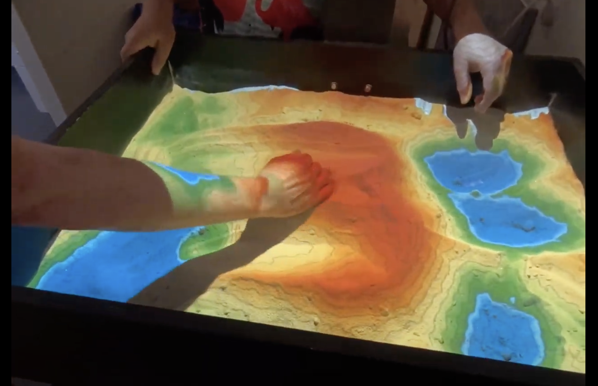
The SLab GIS Sandbox is a (currently work-in-progress) mixed real+virtual reality system offering an actual sandbox where teachers and researchers can shape topographic surfaces, which are then color-mapped and augmented with topographic contour lines and simulated water using a 3D camera and projector.
The first version of our GIS Sandbox started many years back, but in Summer 2025 Drew MacQueen and Chris Gist rejuvenated it, and are continuing this work-in-progress to add new features. The Sandbox builds on Oliver Kreylos’ generously open-sourced research and code.
The sandbox is not currently available for public use; stay tuned for an announcement when that becomes available.
SLab GIS Sandbox 2.0
SLab GIS Sandbox 1.0
