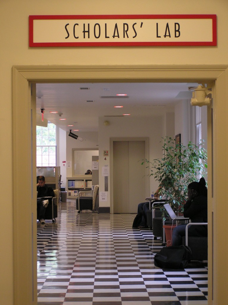
With classes over and finals behind us, let’s look back on the Spring 2012 semester with a spatial eye. Yes, January-May was a very mappy time in the Scholars’ Lab!
University of Virginia Library Scholars’ Lab
Workshops
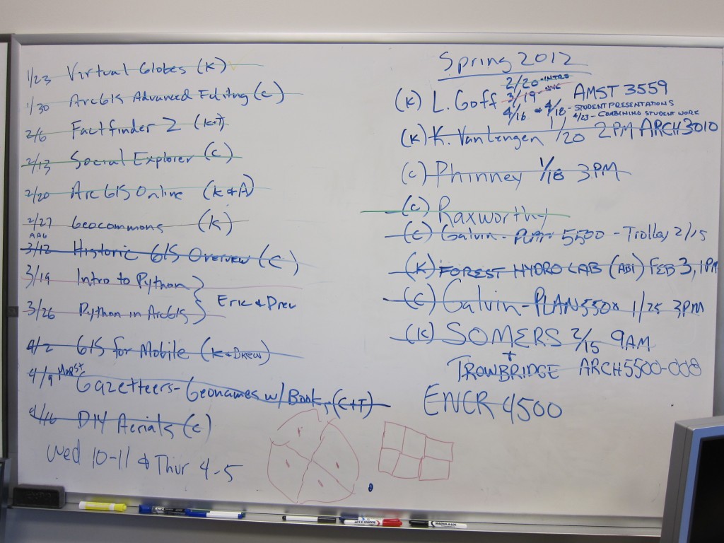
From January through April twice every week my colleague Chris Gist and I welcomed faculty, staff, and students to our free “no experience required” hands-on spatial workshops. The picture below gives you a glimpse behind the curtain at our master workshop list on the left. In case you missed one, our handouts, datasets, and workshop presentations are all available here: http://www.scholarslab.org/resources/class/Spring2012GIS/
Though our workshops have been popular for many semesters, we shook it up this spring with new sessions based on questions we’ve been asked, trends we’ve spotted, or mappy topics we wanted to get to know better. And what a treat it was to collaborate with friends and colleagues from the Scholars’ Lab Research and Development team (thanks Eric Rochester), UVA Facilities Management (thanks Drew MacQueen and Artie McDonough), and the UVA Library (thanks Tim Morton).
For all 24 workshops, folks turned out from across disciplines, asked lots of questions, shared their mappy stories, and learned new skills after a hands-on hour. Later this summer we’ll announce our Fall 2012 workshop series.
Classes
Like us, students get excited when they see their datasets come alive on a map. Some of our best experiences working with geospatial resources in the Scholars’ Lab come from collaborations with faculty to develop specialized training for their courses. American Studies, Architecture, English Criticism, Urban Planning, Environmental Science…we worked with them all this spring. Check our whiteboard again and on the right side you’ll see some of our Spring 2012 faculty partnerships. Now we’re meeting with faculty to prepare for Fall 2012.
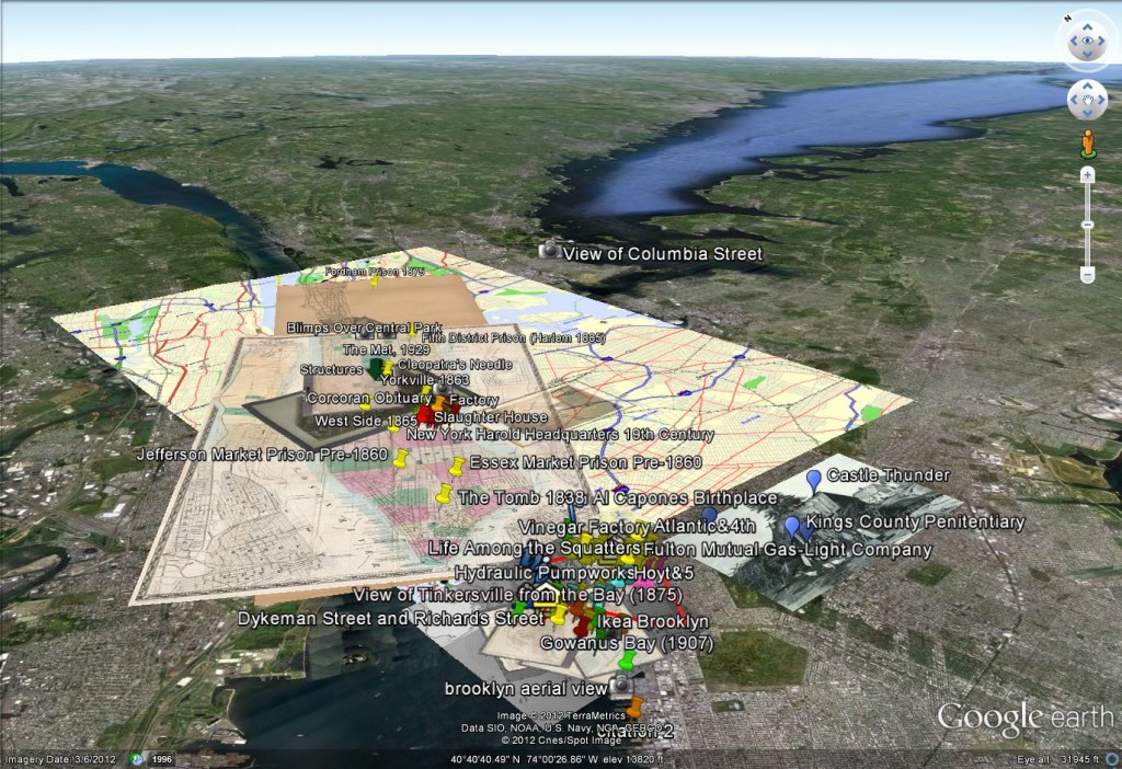
Spring 2012 American Studies 3559 - Mapping Shantytowns
Support in the Scholars’ Lab
In the Scholars’ Lab, we relish a “GIS Emergency”. Typically a student visits the lab to work on a project, hits a roadblock, and contacts us for help. So we drop what we’re doing and spring into action.
“How do I use this cool historic map in my GIS project?”
“I don’t know exactly where it happened, but I need to show it on a map”
“I have a Mac. I want to run ArcGIS. Help.”
“We’re leaving for Guatemala tomorrow. May I borrow a GPS?”
“US Census data from 1950…where do I find it?”
“How can I compare solar exposure for my study sites in the French Alps?”
Combining drop-in support with email queries, our official tracking system, and pre-arranged meetings gives us a great view of how spatial topics are increasingly visible across academic disciplines. And it means I have 1,495 emails in my GIS Support folder since Jan 1, 2012.
On The Horizon
Soon we’ll end the spring semester by hosting Scholars’ Lab grad fellow Ed Triplett for our last Scholars’ Lab mappy event of the Spring. And we’ll start the summer with Mapping Yourself for Reunions Weekend. Though our two hard-working GIS students will be gone for the summer, one having graduated and one home to China, we’ll continue our spatial work at James Madison University where we’ll lead two sessions at the 4th National Summit on Geospatial Technologies in K-14 Education. And our online work continues with contributors and reviewers as we add new content to Spatial Humanities Step By Step, a peer-reviewed series of tutorials and guides to getting things done in teaching and research with spatial tools and resources. We’ll train a new group of students for summer fieldwork at Mountain Lake Biological Station and keep an eye on the sky as we pursue do-it-yourself remote sensing.
Have a very mappy summer!


